By: Zaki Salleh& Aida Aziz
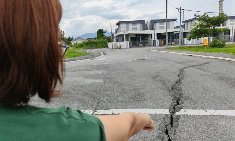
The risk of sinkhole incidents in the city can be mitigated through the method of underground utility mapping to avoid potential hazards.
The Ipoh City Council (MBI) has partnered with Koridor Utiliti Darul Ridzuan (KUDR) in an initiative to gather data on existing utilities before excavation work is carried out.
Ipoh Mayor, Datuk Rumaizi Baharin, stated that 41 utility mapping files covering 41 locations over a distance of 10,387 meters have been successfully recorded through this collaboration.
He added that Ipoh will have a ‘Smart Green City’ system to provide more detailed mapping data and outline necessary actions.
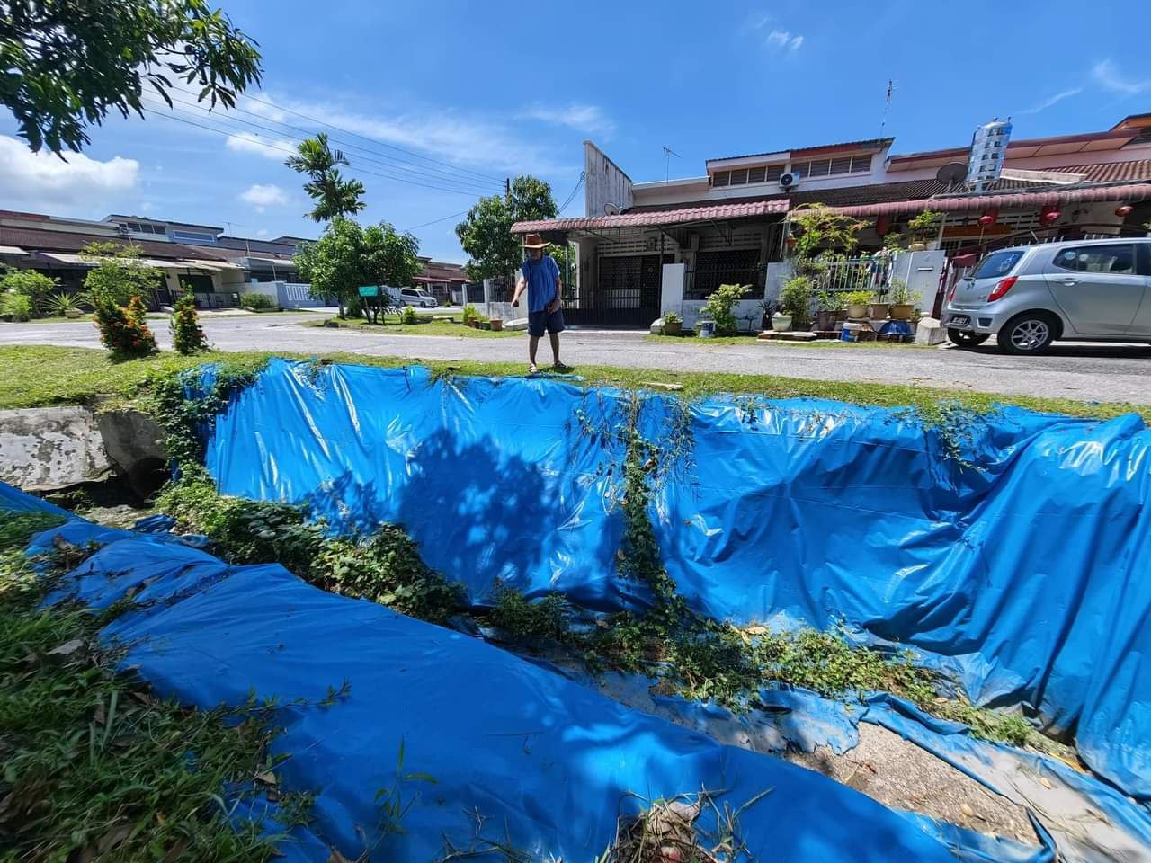
“This also involves other agencies such as the Department of Minerals and Geoscience, Department of Irrigation and Drainage, and the Meteorological Department to collect climate data.
“Among the data being gathered are factors that can affect groundwater levels, rainfall patterns, temperature, humidity, and evaporation rates,” he said.
With this data, spatial analysis will be conducted at high-risk locations using mapping and visualization techniques, expected to commence in mid-2025