
By Aida Aziz
Photo Fb Saarani Mohamad
IPOH: The latest geospatial technology has great potential to assist the state government in formulating policies, development planning, making decisions, monitoring and law enforcement.
Menteri Besar Perak, Datuk Seri Saarani Mohamad said, for example, the technology helped the government a lot when facing the COVID-19 pandemic, by providing complete information along with the locality.
Saarani said the state government is taking up the challenge to develop more systems and applications based on Geographic Information System (GIS) technology that has great potential to help stimulate the development of Perak.
“GIS means the collection, storage, analysis and display of data related to locations on the earth’s surface. It will help us understand spatial patterns or spaces and relationships of various types of data such as population, vegetation, forests, road networks and rivers.
“In aspects of forest management and physical development, GIS technology is seen to have a very large role. For example, GIS technology can be used in the selection of the most appropriate route to access the forest and minimise the impact of development on the forest environment.
“It was also extended to the fisheries sector through mapping that predicts areas of potential concentration of fish resources in the country’s waters, particularly in the waters of the South China Sea and also the Malacca Straits which are the waters of our state,” he said.
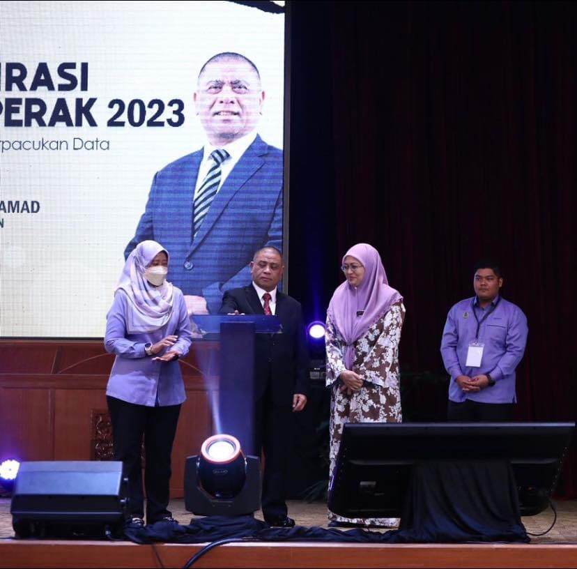
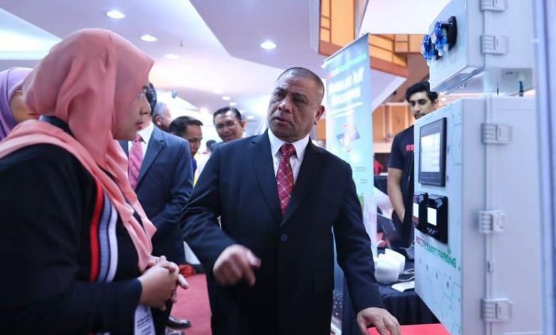
He said this when speaking to inaugurate the Program Aspirasi Geospatial Negeri Perak at Bangunan Perak Darul Ridzuan, here today.
In the meantime, he called on government agencies to take advantage of the services provided by Perak GIS in addition to further strengthening the provision of the state’s geospatial database.

“I am confident that this effort can drive the achievement of the Data-Driven Decision Making agenda as well as support the planning, implementation and monitoring of various key performance indicators set in the Pelan Perak Sejahtera 2030.
“I understand that today, the organisers have gathered experts and exhibitors in the field GIS to jointly share expertise, knowledge and experience to help create a geospatial and digital ecosystem to face challenges in the future,” he said.
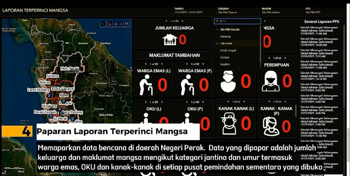
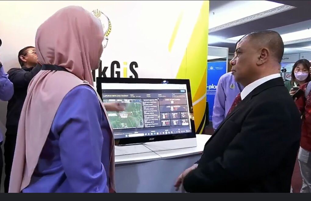
In addition, he also expressed his congratulations to the Perak GIS team of the State Economic Planning Unit (UPEN) who have successfully developed a Geodisaster Application.
“This Geodisaster application is seen to have a significant impact on the efficiency and effectiveness of disaster management, especially floods, due to its ‘real time’ and ‘mobile’ features when it can be accessed through smart phone devices,” he said.
It is disaster regulatory digital reporting in the form of an interactive application system with a geospatial concept that maps and profiles the Perak state disaster management committee’s disaster report into a digital form.